Marine GIS and Spatial Planning
The course introduces students to a number of basic and more advanced Geographic Information Systems (GIS) tools to create, assess and interpret maps within the marine environment, as well as using these tools for spatial planning.
Course Contents
Introduction to maps and GIS
- Basic cartographic notions
- Map viewers vs. GIS software
Data
- Data structure, types
- Data sources
- Remote sensing servers
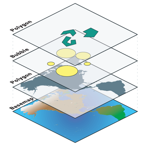
Layers
- Common vector operations. Data tables
- Common raster operations
- Map calculators (algebra)
- Interpolation
- Overlays between discrete (vectors) and surface (raster) layers
Intro and overview of satellite remote sensing
- Ocean color
- Infrared sensors and sSST [restricted now to Ocean Colour datasets]
Case studies and interfacing GIS and R: spatial patterns, basic habitat modelling (within GIS software), home-ranges, etc.
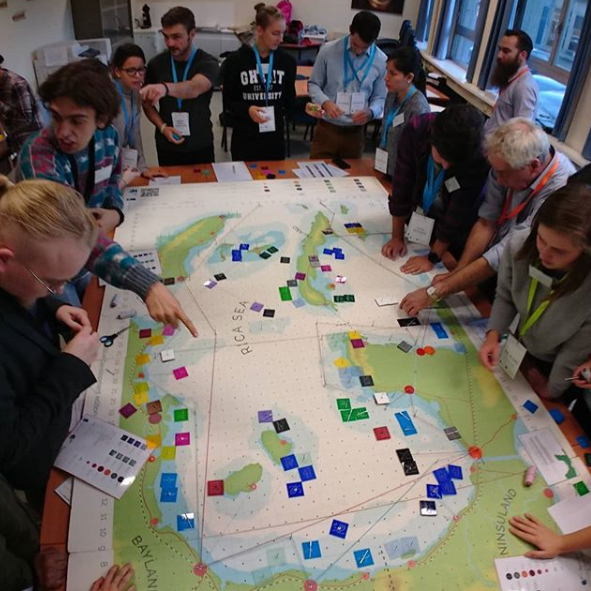
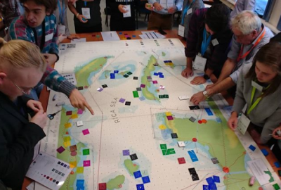
- Spatial planning
- Coastal Zone: planning and integrated management
- The coastal zone. Problems and risks
- Elements of spatial planning
- The general model. Phases: planning, diagnosis, implementing and evaluation
- Coastal zone management in the European Union: policy and laws
- The Mediterranean Protocol
- The green book on Maritime Policy
- Examples and case studies
Final Competences
- Competence and autonomy with data types and availability in GIS and remote sensing.
- Understanding of tools and algorithms common to most software in the field.
- Understanding of the main tools in spatial planning; coordination and decision in practical case studies
Further course information can be found here: https://studiekiezer.ugent.be/2025/studiefiche/en/C003875