Remote Sensing for Marine Research and innovation
This course explores how remote sensing can be used to improve scientific knowledge and ocean management and to develop socio economic applications such as in fisheries, aquaculture and spatial planning.
Final Competencies
1 Basics in remote sensing: how does it work, types of material used (satellites, drones…).
2 Type of information collected (rough, treatment, AI, image…) and how to collect them.
3 Copernicus, Mercator and associated platforms.
4 Visit of the Thales Alenia Space site (Cannes).
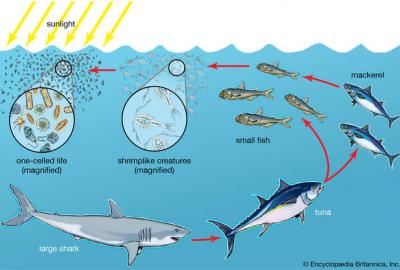
5 Ocean applications: focus on ocean colour
- Research: studying the sea (temperature, primary production, ecosystems, global change…).
- Management: monitoring water quality, pollution.
- Innovation: case studies for fisheries and aquaculture.
Teaching Methods
- Excursion
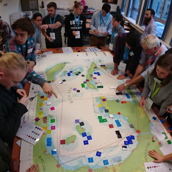
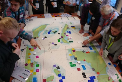
- Group work
- Lectures
- Integration and other seminars.
Further course information can be found here: https://studiekiezer.ugent.be/studiefiche/en/C004338/2021